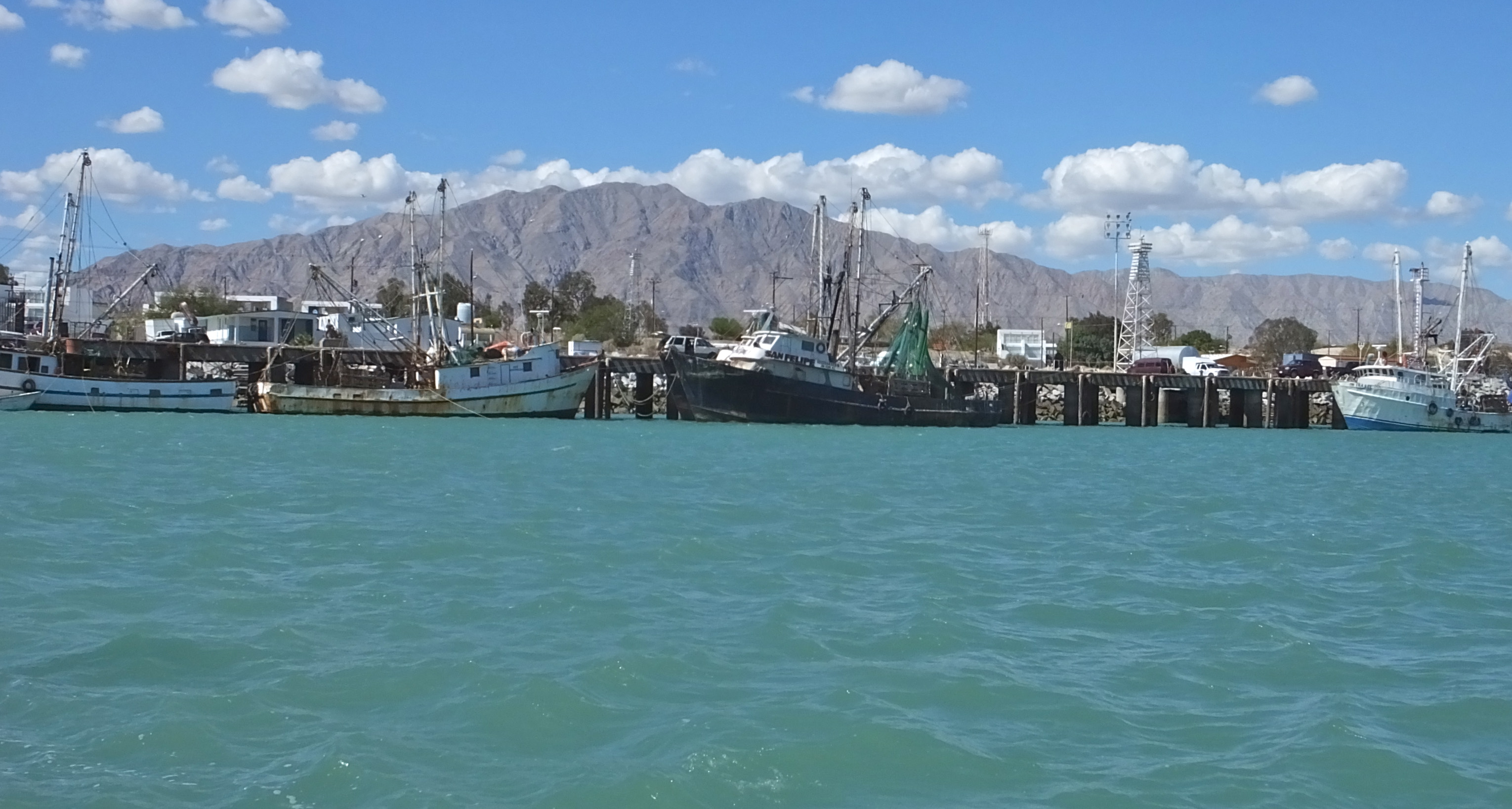
Fishing Village With Allure
Some of the fishing boat fleet in San Felipe.
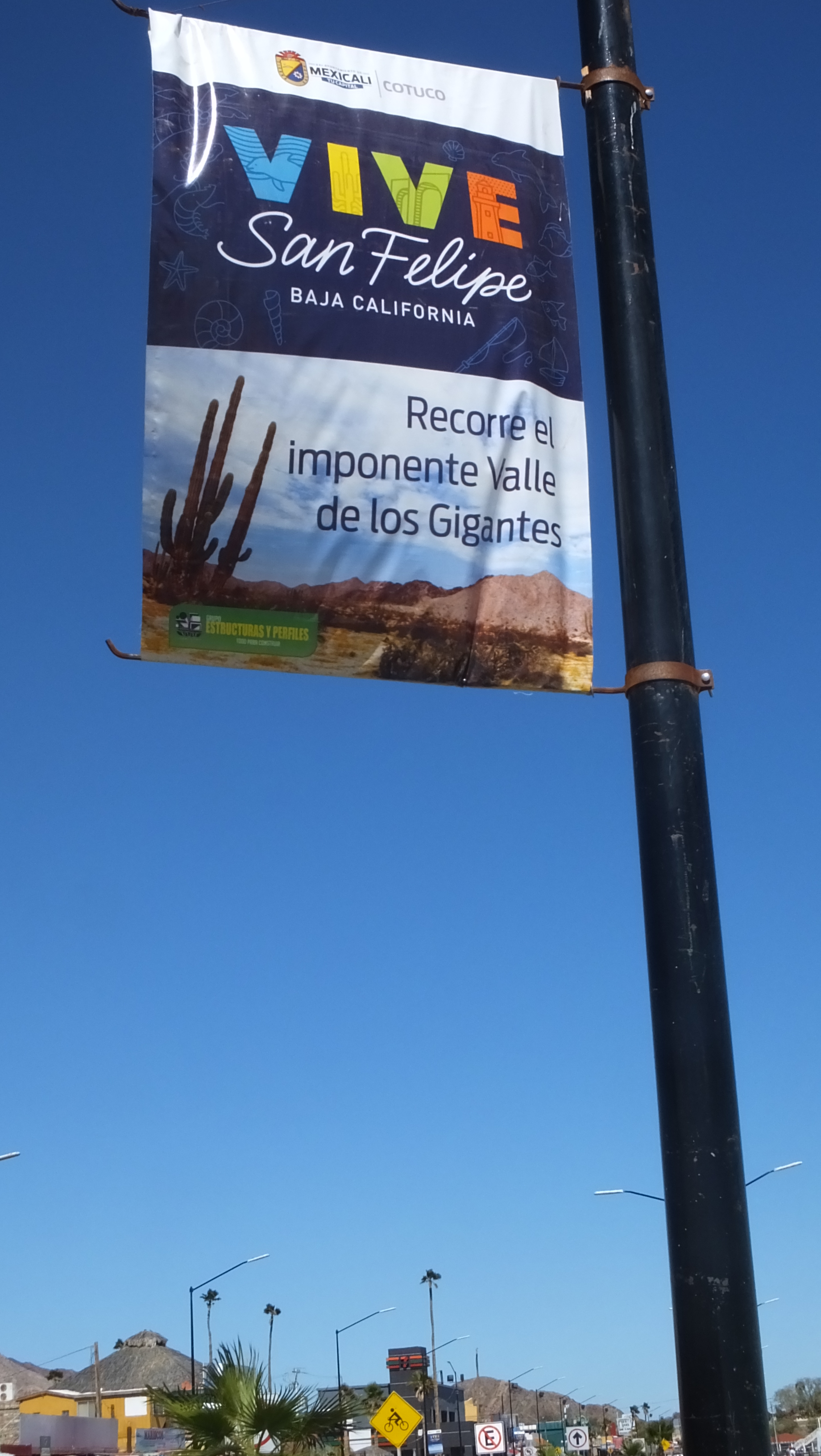
Hooked on San Felipe
Story and Photos by Delle Willett
Since 2001 I’ve helped my husband build two “experimental” airplanes, and have flown co-pilot back and forth to the Midwest and up and down the West Coast many times. So the hour and 20-minute flight in SeaPort Airlines’ single-engine, nine-passenger Cessna Caravan from San Diego to San Felipe was not the least bit scary to me. (And a lot faster than driving four and a half hours!)
In fact, flying as low as we did, I was fascinated looking down at the rugged landscape whose evolution I learned about while working at the San Diego Natural History Museum.
Here’s a “CliffsNotes” version of the story: Baja California, Mexico, is called a peninsula but it’s actually part of an island that begins south at Cabo San Lucas, Mexico, and ends north around Cape Mendocino, Calif.
About 2 million years ago, the Pacific Plate, on which the land we call Baja and California was sitting, started slipping away in a northwest direction from the North American Plate, on which what is now called Mexico was sitting. As the plates separated from each other, the San Andreas Fault and Sea of Cortez (aka the Gulf of California) were formed.
The plates are slowly slipping past one another at a couple of inches a year — about the same rate that our fingernails grow — and eventually there
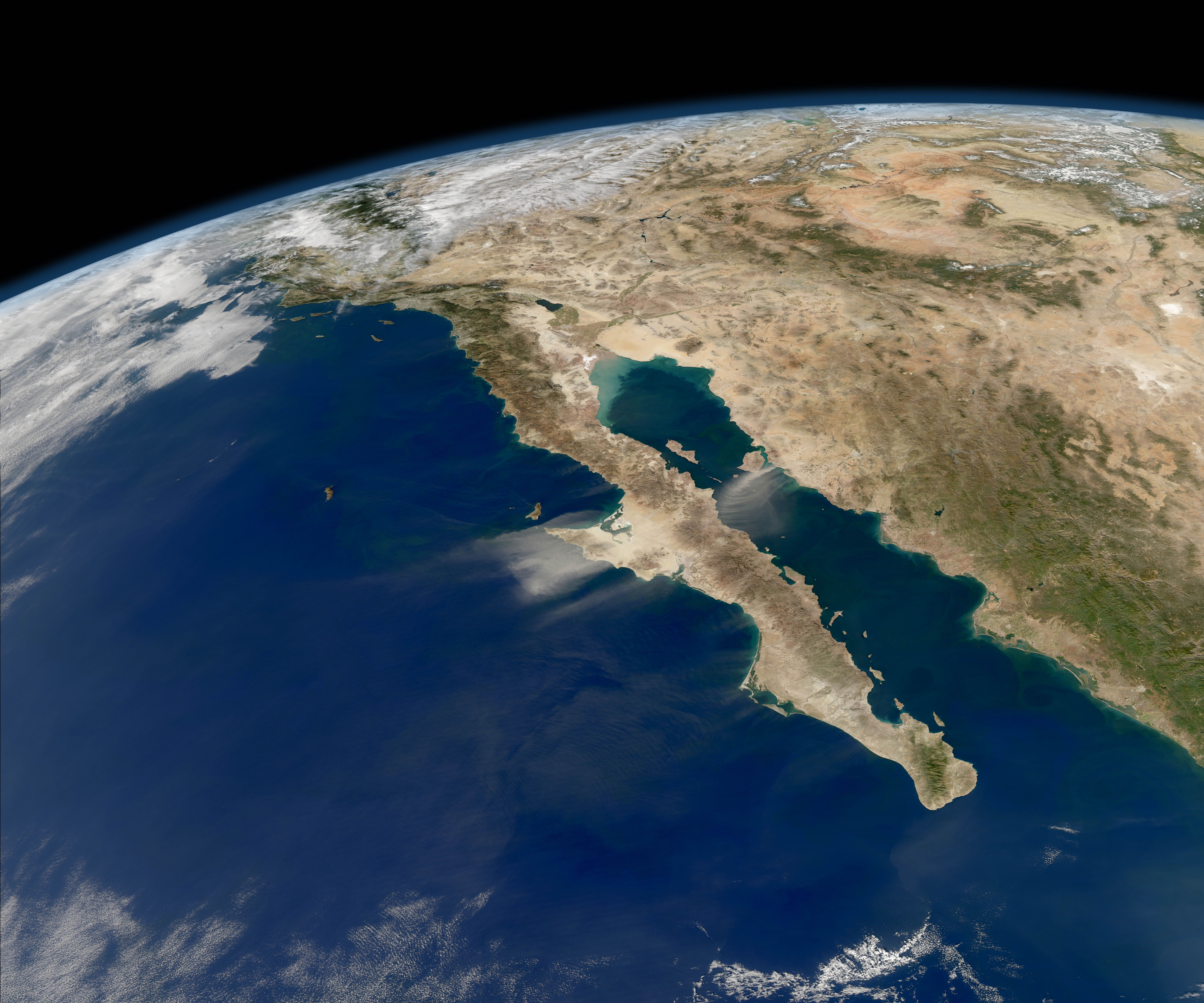
will once again be an island on the Pacific Plate that includes everything from Cape Mendocino in the north to Cabo San Lucas in the south, and everywhere west of the San Andreas Fault: San Diego, Los Angeles and the Big Sur area. Leaving behind San Francisco, Sacramento and the Sierra Nevada on the North American Plate.
With the Treaty of Guadalupe Hidalgo in 1848, California was created above the newly drawn border, and Baja California remained Mexico below (“baja” = lower).
Baja California extends 1,085 miles from the U.S./Mexico border to Cabo San Lucas. It ranges from 25 miles at its narrowest to 200 miles at its widest point and has approximately 1,900 miles of coastline and some 65 islands. The total area of the peninsula is 55,360 square miles.
Called “the last frontier,” Baja California is primarily vast deserts, coastal plains and mountain ranges that parallel the coastline, and are made of volcanic rock, with an average altitude of 1968 feet above sea level.
The landscape is a patchwork of lava flows and the hardened remains of pyroclastic flows — hot clouds of volcanic ash, dust, and rock fragments that race down the slopes of a volcano like an avalanche (think Pompeii).
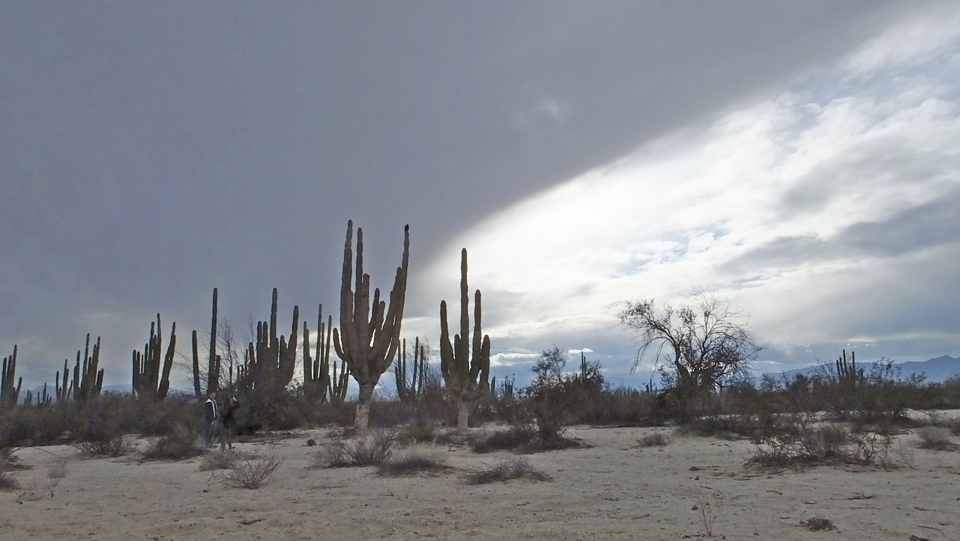
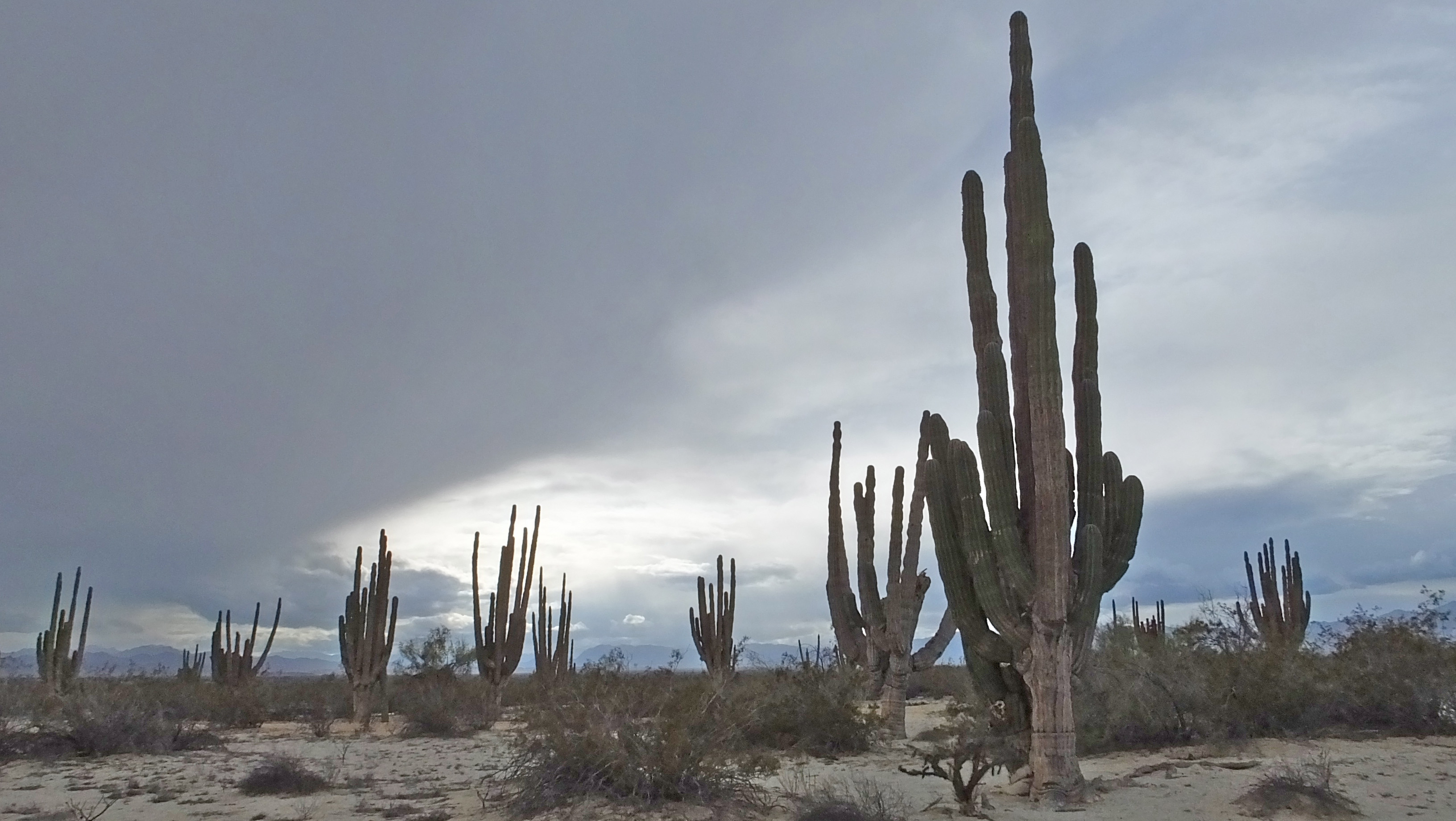
The ecology is considered to be recently evolved with a number of endemic species. The lower elevations are dominated by desert and arid-condition plants, including the world’s largest species of cactus, the cardón cactus, which can reach heights of 69 feet. The higher elevations have forests of pine and holm oak with some deciduous forests.
Wildlife in the desert includes birds, reptiles and mammals such as rabbits and coyotes. Upper elevations with more vegetation can have wild rams, pumas, other wild cats, raccoons, deer, and foxes. Marine species include whales, seals, dolphins, manta rays and sea turtles. There are approximately 3 million people living in Baja, California, with 75 percent in Tijuana and along the border, and fewer than 20,000 in San Felipe.
Knowing my fascination with the geology and geography of Baja California, you won’t be surprised that the nature part of my visit in March to the fishing village of San Felipe was my favorite.
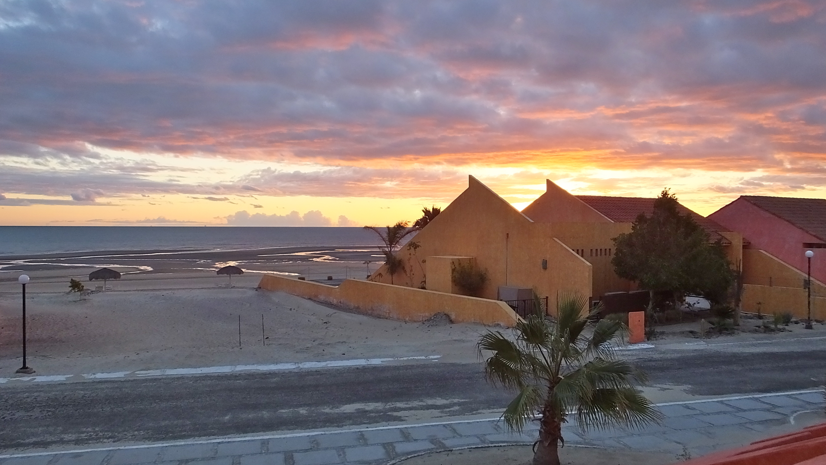
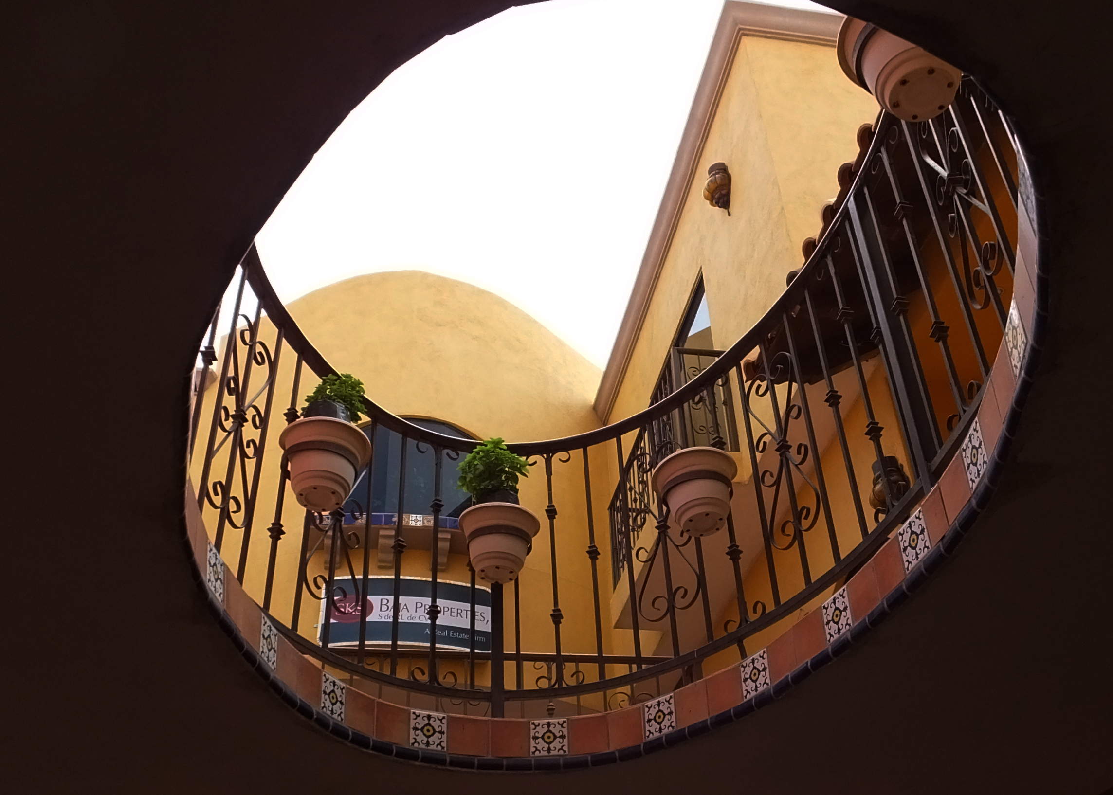
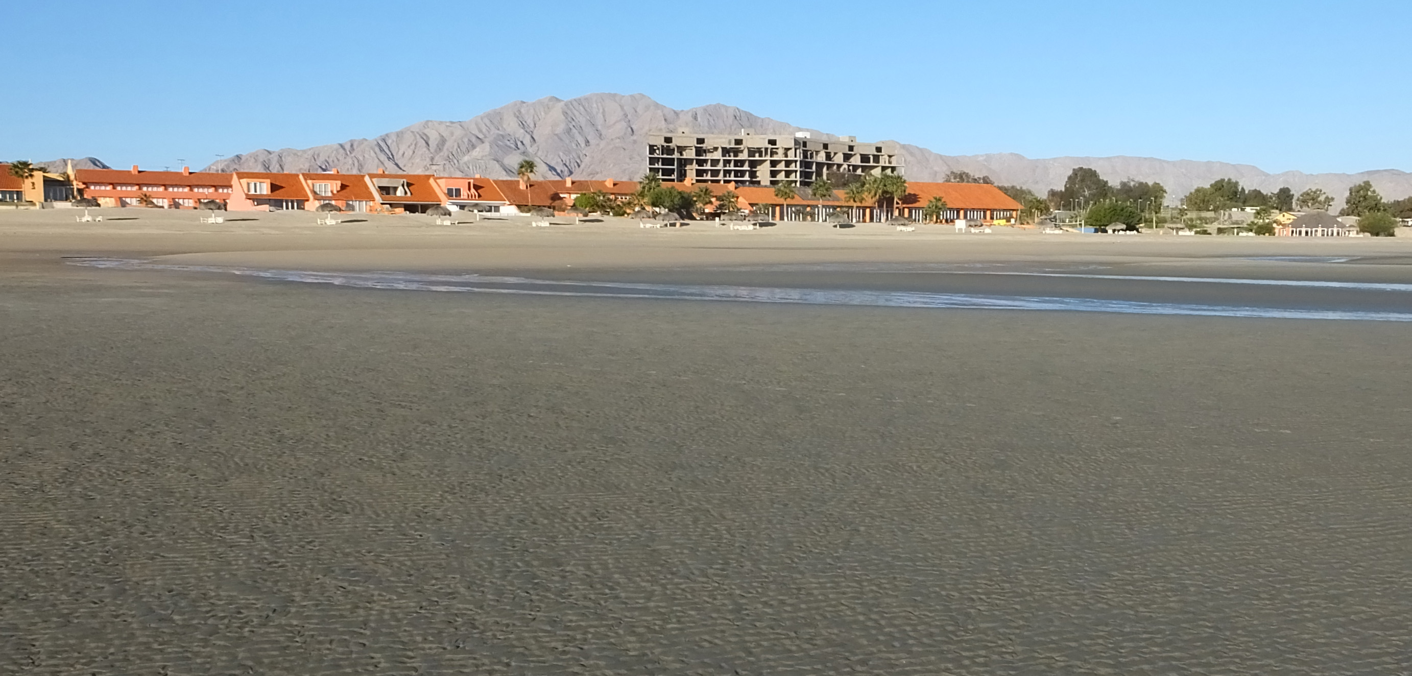
I stayed right on the beach at the colorful and charming San Felipe Marina Resort, just outside of town. Each of the 68 luxury suites have sweeping views of the beach and water. My room was just a few steps to the beach, which I walked on for hours to start all three of my mornings there.
This environmentally respectful resort is family-owned since 1992 by the Armando Ramos Sr., family, and is part of a 444-acre master-planned community, “Baja Diamante,” which, when completed, will include a hotel, villas, condominiums, and golf-course homes on a championship golf course. There will also be a retail complex, and a 300+ slip yacht marina.
The current resort amenities include indoor and outdoor pools, a private beach, a beachside palapa bar, tennis courts, spa services and a 14-slip marina.
Here at the top of the Sea of Cortez, the tides swing as high as 25 feet, causing the sea to recede as much as a half mile at times. The beach goes on forever, with its endless sand paintings. And I had it all to myself with the exception of an occasional free-range dog who thought he had died and gone to beach heaven.
After my morning meditation on the beach I had breakfast in its gourmet restaurant, enjoying delicious coffee and beautifully presented, healthy gifts from the land. Others had hardier meals that included gifts from the sea.
Another natural treat was a visit to the Valle de los Gigantes, a scenic 30-minute drive from the resort — where I went camera crazy capturing images of centuries-old “walking stick chollas.” These giants can grow to be 55 to 62 feet tall, taking their own sweet time.
While shopping is not my favorite pastime, I did enjoy walking through the shops in town to pick up some souvenirs and take-home gifts. I especially liked that the vendors didn’t lasso me and drag me into their stores.
Meals are tastier to me if I don’t have to make them and so I had some great meals in San Felipe, trying all types of seafood that I’ve never had before —like stingray!
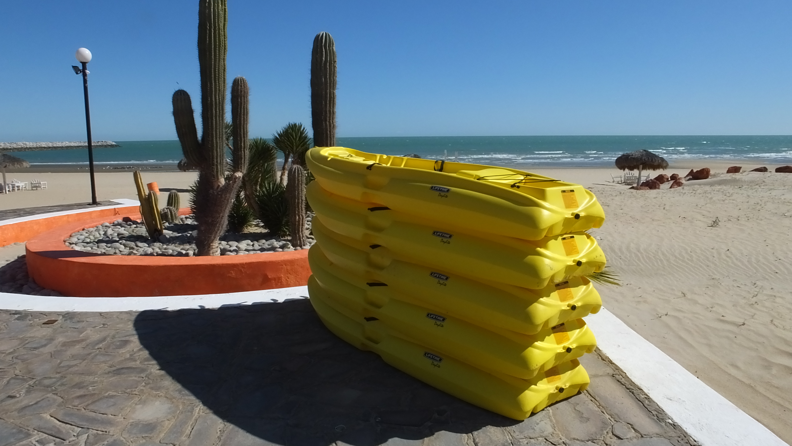
What I would like to do the next time I visit and have more time: Hike to the Agua Caliente Canyon to see the rock paintings. Fish, kayak, investigate the lava caves, fly in an ultralight, sail, and soak in the hot springs, snorkel, and swim. And I MAY fly across the dunes in an open buggy or a mountain bike in the nearby hills, but only if we stay on the trails and don’t disturb the plants and animals that live there.
Something else to tempt me back is San Felipe’s frequent festival schedule to celebrate most people’s favorite hobbies: drinking and eating — ceviche, shrimp, paella, tamales and tequila.
Another lure is that San Felipe has U.S.-trained dentists, doctors, veterinarians, ophthalmologists, chiropractors and pharmacies and a three-hour drive to hospitals—all at much lower prices than in the U.S. I could sure save a lot on maintenance of this pre-Boomer body.
Knowing that the entire San Felipe area has been master-planned with the goal of not overbuilding the area and keeping a small resort-town image, I would even consider retiring there. It’s become a lot easier for Americans to own property there, and there’s some attractive options offered at Ramos’ Baja Diamante and the El Dorado Ranch, built by environmentally vigilant J. Patrick Butler in 1994. He’s even found a salt-tolerant grass to use on his golf courses to avoid depleting the area’s water supply.
But I think I’d rather just roll in with my vintage mini-Winne and park it right at the edge of the high-tide line along San Felipe’s 100 miles of unspoiled beaches, and watch the spectacular sunrises and sets, sipping margaritas made from local tequila, glass rimmed with authentic San Felipe salt.
Yummy.